Path: Introduction –
Visit the mills; catalogue – Guaso

Mills in Alto Aragón
harinero, central eléctrica, aceitero, batán
harinero, central eléctrica, aceitero, batán
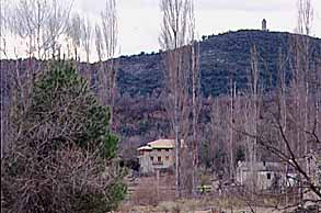
Guaso

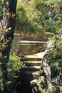
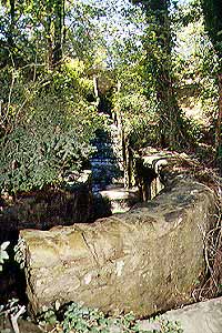
Guaso is easily reached from
L'Ainsa where you start at the signpost pointing to Guaso. You'll leave the village, cross
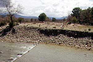
the Río Ena and then reach a bunch of houses at the foot of
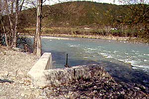
a higher plateau. Turn right towards the Río Ara. The road is becoming
narrow, runs straight-on and then takes a sharp turn to the left. Shortly thereafter
a branch to the right will bring you down into the riverplains. Time to drop the car.
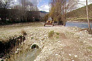
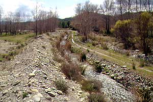
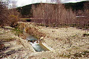
Follow the road and you'll soon find the markings of the local PR-walking circuit.
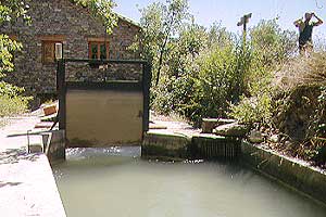
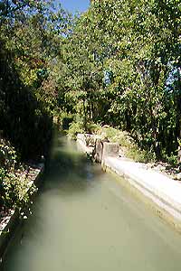
Follow this path to the West and You'll long the irrigation and drainage channels and
first encounter the Batán, then the new powerstation and eventually the main building.
Pictures: V.2001, VIII.2006, XII.2007