Path: Introduction -
Visit the mills; catalogue - Javierre de Olsón

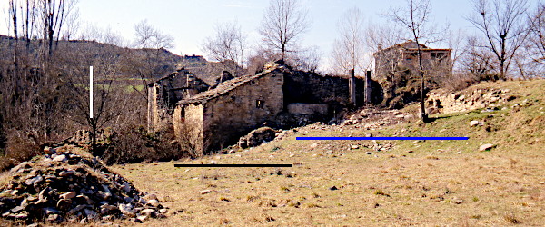
Mills in Altoaragón - harinero
Javierre de Olsón

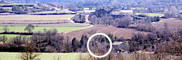
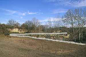
Javierre is most easily to reach
from the main road between L'Ainsa and Barbastro when you turn to Lamata in Mesón
de Ligüerre de Cinca. Following the narrow road leading to Olsón you'll
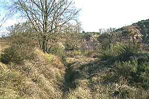
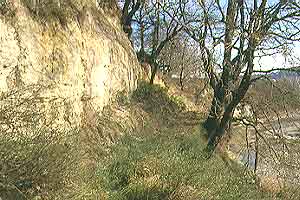
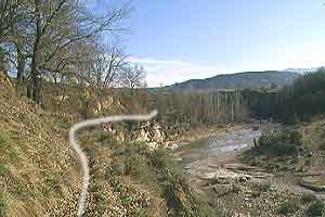
reach Javierre. Walk down towards the Río Susía, cross the river
and there you are. A lovely way to enjoy the landscape is to walk
in from the north starting at Castejón de Sobrarbe. Take a map and
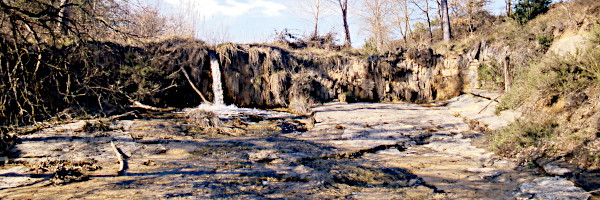
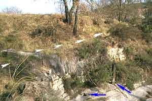
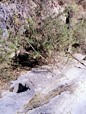
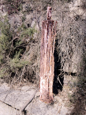
binoculars with you. The region teems with birdlife. The mills tap water from the .
Pictures: 05.iii.2003